
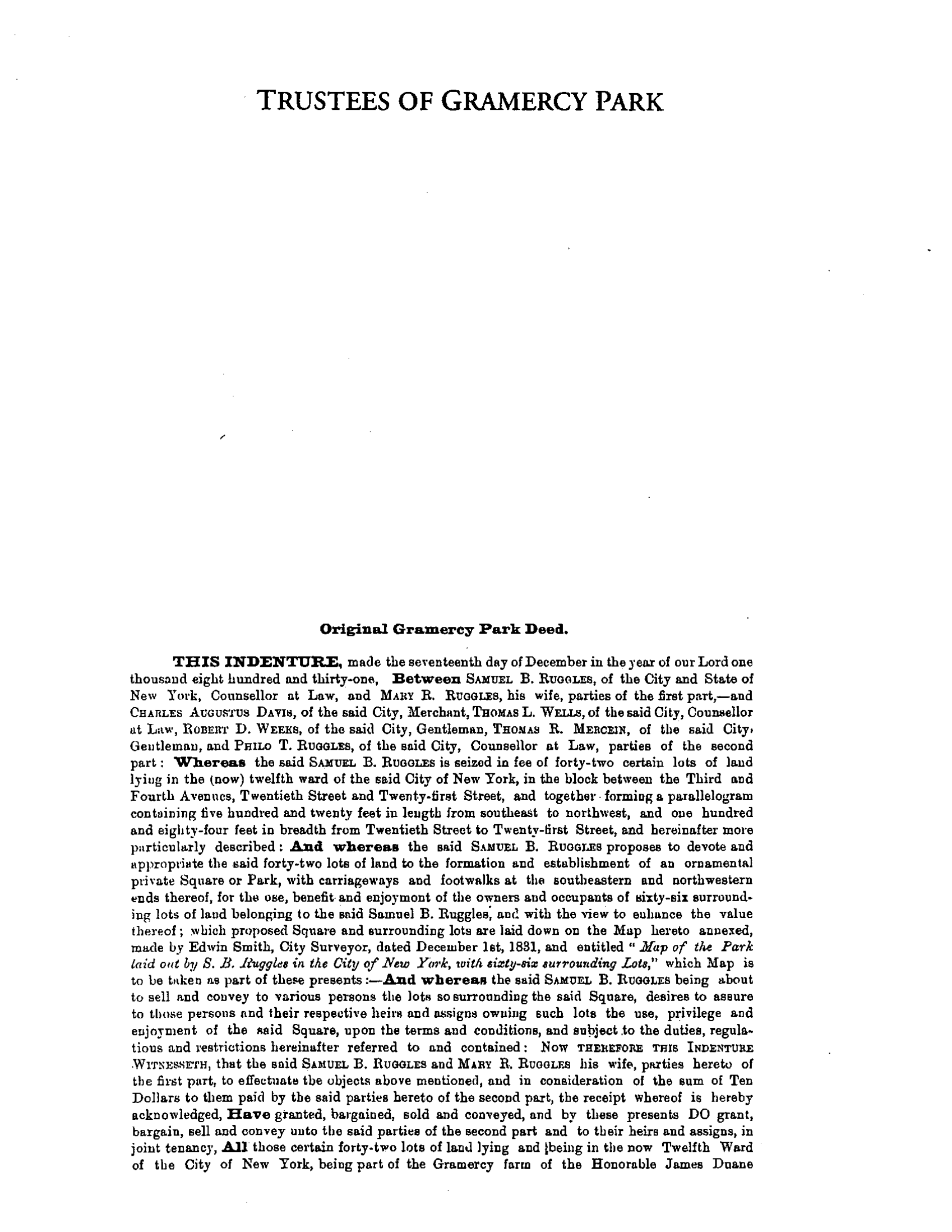
December 17, 1831
The founding indenture records Samuel B. Ruggles and Mary R. Ruggles conveying land to five trustees for an ornamental private square, with carriageways and footwalks at its ends, for the benefit of the surrounding properties.
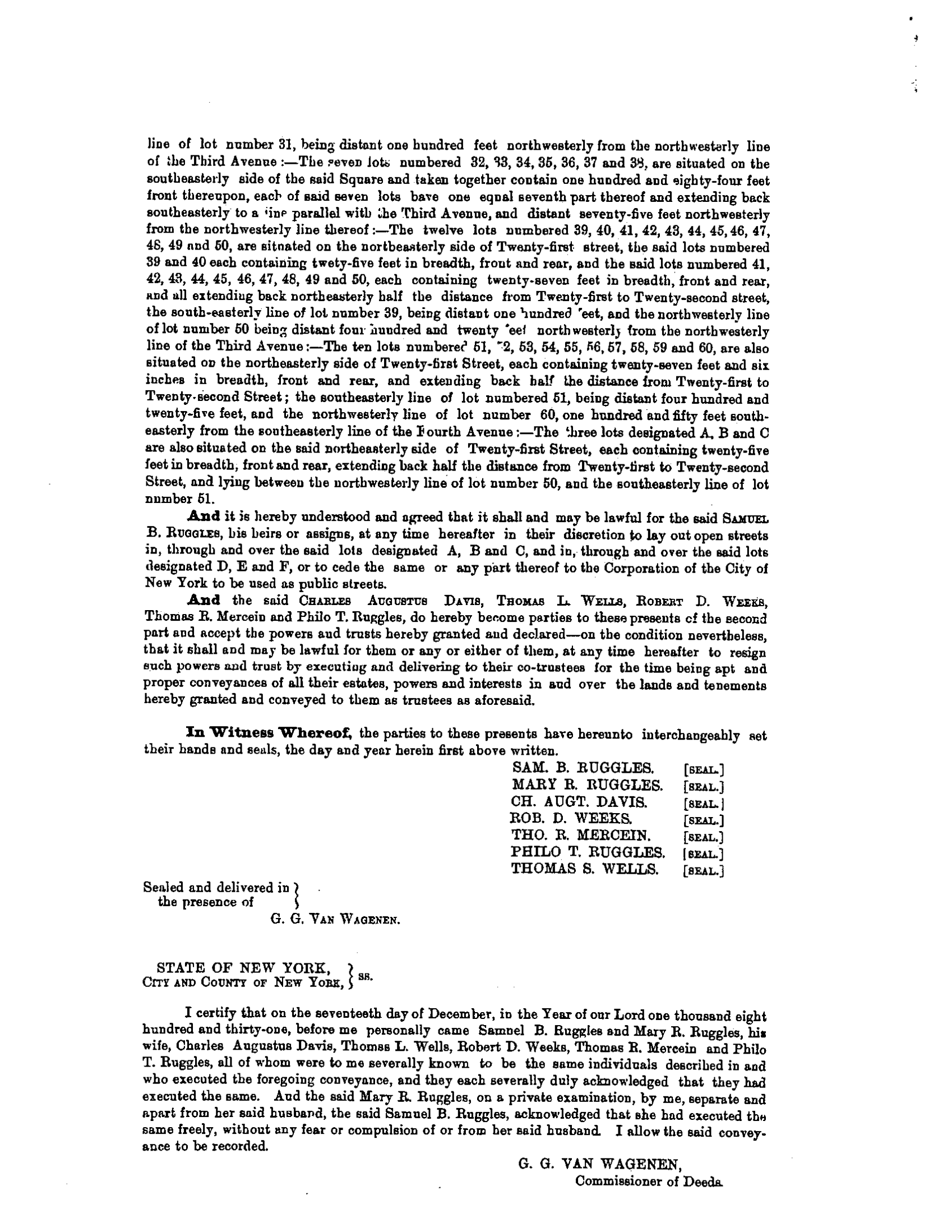
The five trustees named in the body of the document were Charles Augustus Davis, Thomas L. Wells, Robert D. Weeks, Thomas R. Mercein and Philo T. Ruggles. The supplied four-page document is a printed reproduction of the deed, including its acknowledgment.
Forty-two lots and sixty-six lots
Two numbers recur in the document, and they refer to different things. Forty-two lots formed the conveyed parcel between Twentieth and Twenty-first Streets. The deed describes that parcel as 520 feet long and 184 feet wide. Sixty-six other lots surrounded it and were intended to benefit from the Park.
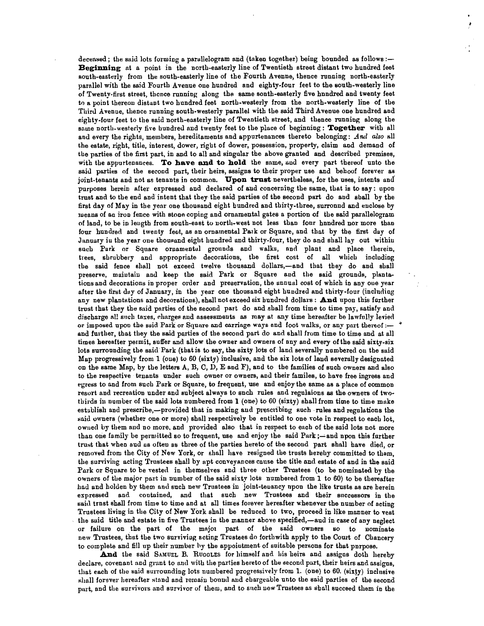
The enclosing fence was to define a garden between 400 and 420 feet in length within the larger parcel, leaving room for the end carriageways and footwalks. The deed’s overall parcel dimensions therefore should not be read as a measurement of the garden inside the fence.
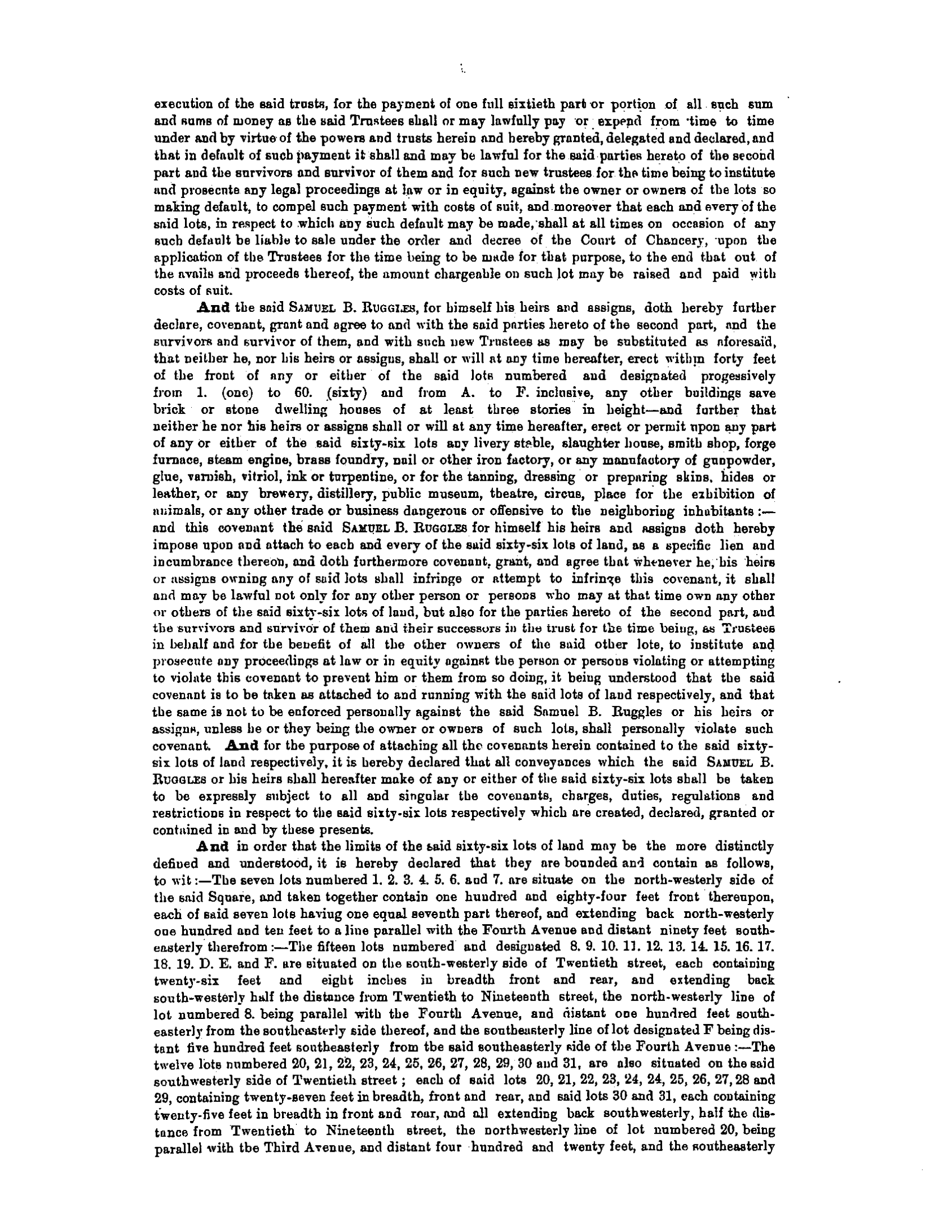
The surrounding properties comprised sixty numbered lots and six lettered lots. Ruggles reserved the ability to open streets through the lettered parcels. Pine later explains that the openings for Lexington Avenue and Irving Place account for the distinction between the original sixty-six lots and the sixty lots associated with the completed arrangement.
A landscape specified in writing
The 1831 deed called for an iron fence, stone coping and ornamental gates, followed by grounds, walks, trees, shrubbery and decorations. It set dates for enclosure and planting, with limits of $12,000 for the initial work and $600 for annual care.
Its language makes clear that planting was only the beginning. The trustees were charged with preserving and maintaining the grounds and their improvements. The sixty numbered lots were each assigned a one-sixtieth share of the expenses contemplated by the trust.
A residential setting
The surrounding houses were part of the plan. Within forty feet of the front of the designated lots, the deed called for brick or stone dwelling houses at least three stories high. It also listed uses considered incompatible with the intended neighborhood, including stables, slaughterhouses, foundries and other industrial or disruptive activities.
The phrase “at least three stories” is significant: this passage was not a three-story height cap. The historical document expressed a desired building type and setting. Later disputes about buildings around the Park show that applying those provisions could still require interpretation.
Read the source
The indenture also sets out historical provisions for use, voting, the replacement of trustees and the collection of expenses. These pages present the document as part of the Park’s history; they do not serve as instructions for present-day access or governance.
The text refers to a map prepared by Edwin Smith on December 1, 1831. That map is not included in the supplied four-page reproduction. Read the complete indenture, or continue to the story of the first recorded planting work.
A promise carried forward
The deed’s long view is still visible in the relationship between the garden and the homes facing it. The full history of Gramercy Park follows how later generations defended that arrangement, changed the landscape and kept caring for it.
Sources
Adapted from John B. Pine, The Story of Gramercy Park, 1831–1921 (1921), printed pages 4–7.