
A name older than the square
Gramercy’s history begins before its iron fence, rows of houses and street grid. John B. Pine opens his 1921 book with early land records and several spellings of the name later rendered as Gramercy. His account connects those names with a brook running from the vicinity of Madison Square toward the East River near Eighteenth Street.
Pine thought the older name probably came from a Dutch expression meaning “crooked little knife,” a reference to the winding brook. He treated that derivation as a possibility.
James Duane’s Gramercy Seat
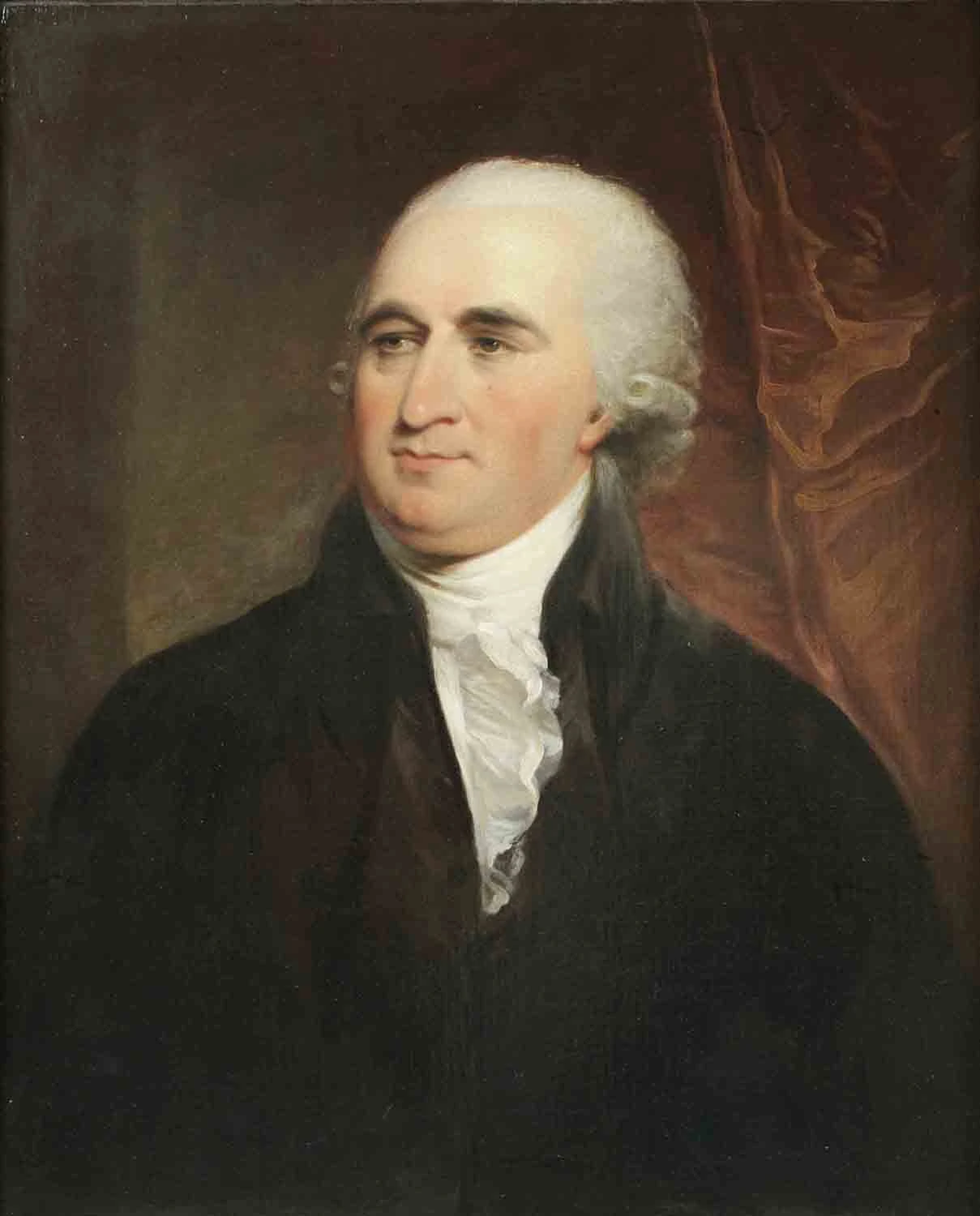
In 1761, according to Pine, James Duane acquired the farm from Gerardus Stuyvesant. Duane called it Gramercy Seat. Pine describes a property of approximately twenty-two acres extending between what became Nineteenth and Twenty-third Streets, from the old Bloomingdale Road toward Second Avenue.
Duane’s life connected the farm with the larger political history of the city. A lawyer and participant in the Continental Congress, he became New York’s mayor in 1784, after the end of British occupation. Pine records his return to find his city house damaged but the farm in relatively good condition, having been occupied by a British general.
A landscape remade
Ruggles’s acquisition of land from Duane’s heirs in 1831 began a much more deliberate transformation. Pine reproduces a later account of the removal of high ground and the filling of low, wet land. Creating buildable streets and lots required extensive earthmoving; the level neighborhood familiar to later residents was itself the result of planning and labor.
Pine knew of no surviving view or description of Duane’s house. He quoted an abstract of title recalling a remnant of its brick-lined well on the west side of the future Park.
The next chapter
The name Gramercy Seat survived the farm’s transformation. Ruggles kept that connection to the earlier landscape while giving the neighborhood a new organizing center: an ornamental square held in trust. The deed of December 17, 1831 explains how that idea was to work.
Look at the map again
The brook has disappeared from the street view, but the changing shape of the neighborhood can still be followed on historic maps. Find a familiar corner and compare the land around it across the years.
Sources
Adapted from John B. Pine, The Story of Gramercy Park, 1831–1921 (1921), printed pages 1–4, 7–10, 22–24.
